Georgia - United States 2025-12-09 Tuesday 30.73N, -81.55W
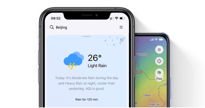
Visualize Your Weather
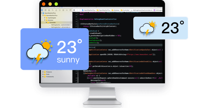
Need weather data service?
QWeather APP
Visualization weather APP
© 2025 qweather.com All rights reserved